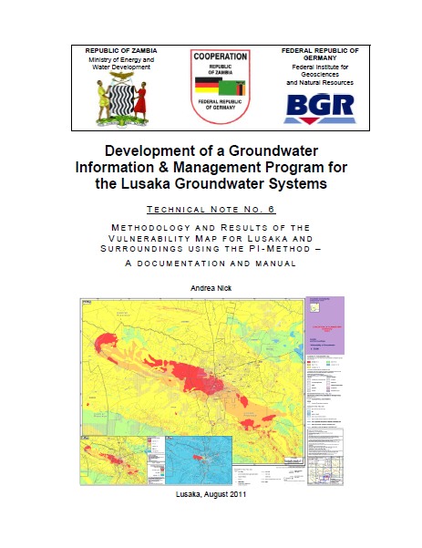
Methodology and results of the vulnerability map for Lusaka and suroundings using the PI-method - a documentation and manual - Technical note no. 6
Nick, A. (2011)

Published in: 2011
Publisher:
Department of Water Affairs (DWA), Zambia & Federal Institute for Geosciences and Natural Resources (BGR), Germany
Author:
Nick, A.
Uploaded by:
SuSanA secretariat
Partner profile:
common upload
7181 Views
69 Downloads
Location of library entry
Content - Summary
Lusaka Province, with an estimated population of about 2.2 million in 2010 is experiencing a rapid population growth of 4.7 % per year. Lacking or unsafe sanitation facilities constitute a major pollution source to groundwater, both in terms of microbiological and inorganic contamination. The vulnerability map established by the GReSP project gives assistance in identifying areas which need protective measures. It gives an overview of the Lusaka area, in the scale 1:75.000, showing different classes of groundwater vulnerability, i.e. its sensitivity to pollution.
This report outlines the PI-method and describes the parameters that were used for establishing the vulnerability map. It is meant to give guidance on how to set up, use and change the map in a Geographical Information System (GIS), and explains how the map can be interpreted.
Bibliographic information
Nick, A. (2011). Methodology and results of the vulnerability map for Lusaka and suroundings using the PI-method - a documentation and manual - Technical note no. 6. Department of Water Affairs (DWA), Zambia & Federal Institute for Geosciences and Natural Resources (BGR), Germany
Filter tags
English Groundwater protection (WG11) Sub-Saharan Africa


